|
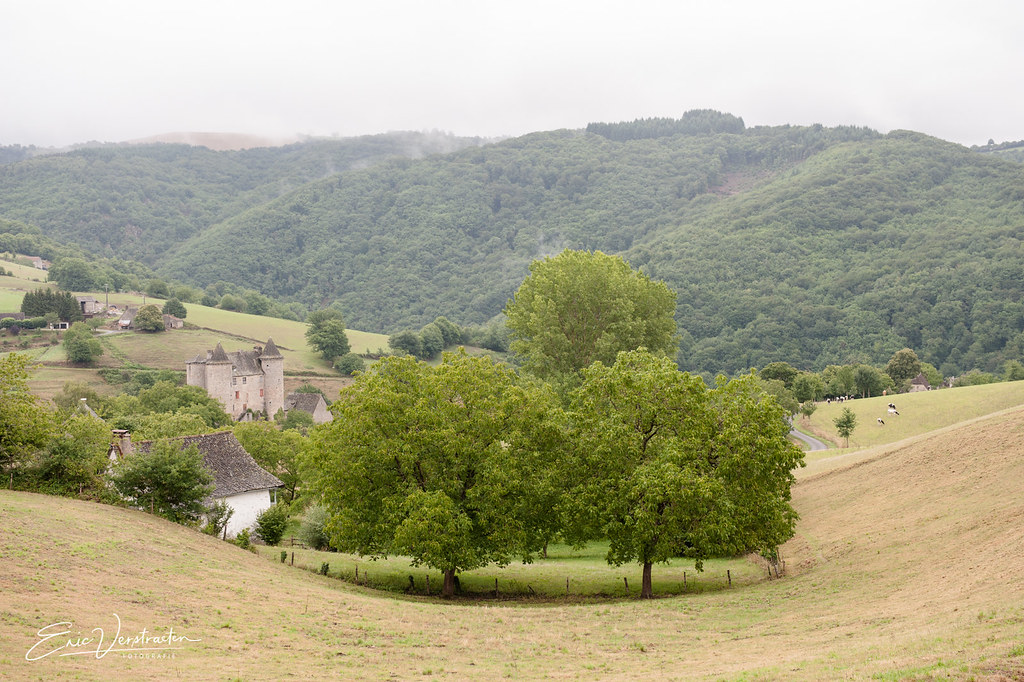
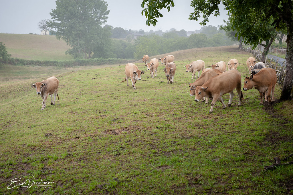
The village of Le Fel is a small village located south of France. The town of Le Fel is located in the department of Aveyron of the french region Midi-Pyrénées. The town of Le Fel is located in the township of Entraygues-sur-Truyère part of the district of Rodez. The area code for Le Fel is 12093 (also known as code INSEE), and the Le Fel zip code is 12140.
Geography and map of Le Fel :
The altitude of the city hall of Le Fel is approximately 500 meters. The Le Fel surface is 24.89 km ². The latitude and longitude of Le Fel are 44.661 degrees North and 2.531 degrees East.
Nearby cities and towns of Le Fel are :
Entraygues-sur-Truyère (12140) at 3.31 km, Espeyrac (12140) at 5.48 km, Montsalvy (15120) at 5.83 km, Campouriez (12140) at 6.86 km, Sénergues (12320) at 7.09 km, Saint-Hippolyte (12140) at 7.36 km, Golinhac (12140) at 7.48 km, Lapeyrugue (15120) at 7.50 km.
(The distances to these nearby towns of Le Fel are calculated as the crow flies)
Population and housing of Le Fel :
The population of Le Fel was 146 in 1999, 171 in 2006 and 172 in 2007. The population density of Le Fel is 6.91 inhabitants per km². The number of housing of Le Fel was 165 in 2007. These homes of Le Fel consist of 73 main residences, 83 second or occasional homes and 9 vacant homes. |
|
|
Hotel Le Fel
|
|
|
Book now ! Best Price Guaranteed, no booking fees, pay at the hotel with our partner Booking.com, leader in online hotel reservation.
Find all hotels of Le Fel : Hotel Le Fel
| |
|
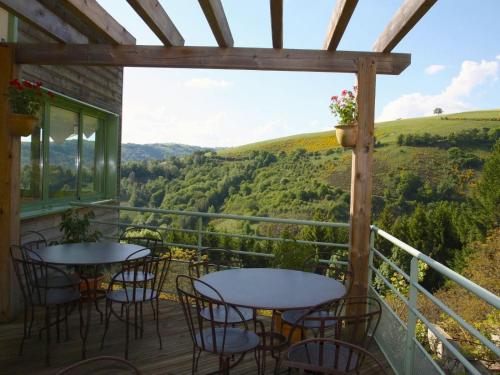
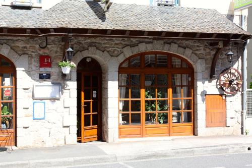
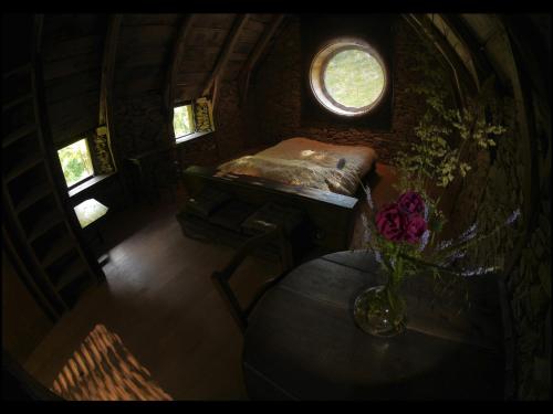
Hotel : Logis Auberge du Fel

Welcome to Logis Auberge Du Fel,a colourful house opening onto a preserved natural environment. Each room, named after a variety of wine from the South-West, offers a different...
Address : Le Fel 12140 Le Fel
Distance Hotel - Le Fel : 2.32 km
|
|
|
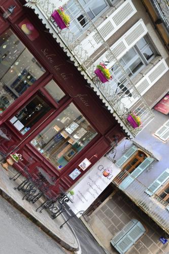
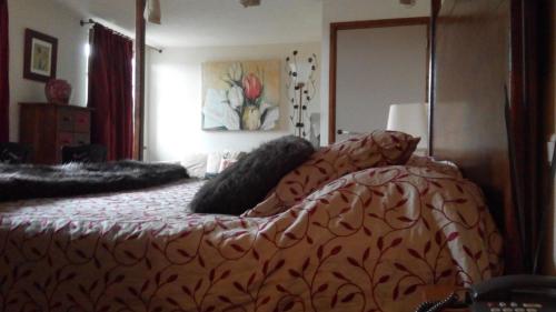
Bed and Breakfast : Le Petit Chou
Le Petit Chou is a charming bed and breakfast with 4 cosy rooms and a locally known tea room, which offers light menu options, hot and cold drinks and musical evenings during wi...
Price : from 78.16 €
to 260.00 €
Contact : Place De La Republique 12140 Entraygues-sur-Truyère
Distance Bed and Breakfast - Le Fel : 3.14 km
|
|
|
Hotel La Rivière is a 3-star boutique hotel in the Lot Valley in Aveyron. Its guest rooms have private shower or bath, LCD TV with satellite channels and tea/coffee making facil...
Prices : from 100.00 €
to 110.00 €
Contact : 60 Avenue Du Pont De Truyère 12140 Entraygues-sur-Truyère
Distance Hotel - Le Fel : 3.16 km
|
|
|
Hotel : Hôtel Du Centre
Hôtel Du Centre is set in Entraygues-sur-Truyère. Free WiFi is included. At the hotel, each room has a wardrobe, a flat-screen TV and a private bathroom. A continental breakfa...
Rate : from 39.00 €
to 50.00 €
Contact : 1 Place De La République 12140 Entraygues-sur-Truyère
Distance Hotel - Le Fel : 3.16 km
|
|
|
Hotel : Hotel Restaurant des Deux Vallées
This charming hotel with an excellent restaurant is situated just outside the centre of historical Entraygues. It offers well-equipped, soundproofed rooms, most with most with v...
Price : from 55.00 €
to 70.00 €
Address : Avenue Du Pont De Truyère 12140 Entraygues-sur-Truyère
Distance Hotel - Le Fel : 3.18 km
|
|
|
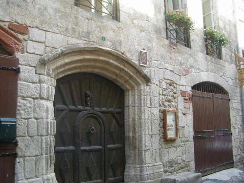
Bed and Breakfast : La Porte Valette
La Porte Valette, located in Entraygues-sur-Truyère, is characterised by its 16th-century facade. The guest house includes a courtyard and a balcony, and there are 3 cats. Acc...
Prices : from 41.00 €
to 50.00 €
Contact : 8 rue Droite 12140 Entraygues-sur-Truyère
Distance Bed and Breakfast - Le Fel : 3.18 km
|
|
|
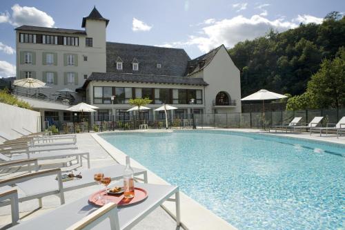
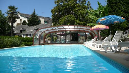
Hotel : Hôtel du Lion d'Or
Set in the heart of the Lot Valley, this hotel is located at the confluence of the Lot and Truyère River. You can relax in the heated swimming pool, sauna and hot tub or play mi...
Contact : 6 Tour de ville 12140 Entraygues-sur-Truyère
Distance Hotel - Le Fel : 3.29 km
|
|
|
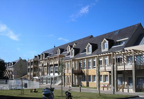
Guest accommodation : VTF Les Gorges de la Truyère
This residence features spacious, well-equipped apartments and is located in the heart of a beautiful valley in North Aveyron. Facilities include an indoor and outdoor swimming ...
Contact : 7 route de Villecomtal 12140 Entraygues-sur-Truyère
Distance Guest accommodation - Le Fel : 3.65 km
|
|
|
Bed and Breakfast : Malrieu
Located in Le Fel in the Midi-Pyrénées Region, 18 km from Conques, Malrieu boasts a sun terrace and views of the river. Free WiFi is offered and free private parking is availabl...
Address : Malrieu 12140 Le Fel
Distance Bed and Breakfast - Le Fel : 4.92 km
|
|
|
Boasting a bar, Auberge Fleurie is set in Montsalvy. This 3-star hotel offers room service. The property has a restaurant. At the hotel, each room is equipped with a wardrobe, ...
Contact : 2 Avenue D'aurillac 15120 Montsalvy
Distance Hotel - Le Fel : 5.78 km
|
|
Find another hotel near Le Fel : Le Fel hotels list
|
Map of Le Fel
|
|
Map of Le Fel :
At right you can find the localization of Le Fel on the map of France. Below, this is the satellite map of Le Fel. A road map, and maps templates of Le Fel are available here : "road map of Le Fel". This map show Le Fel seen by the satellite of Google Map. To see the streets of Le Fel or move on another zone, use the buttons "zoom" and "map" on top of this dynamic map.
Search on the map of Le Fel :
To search hotels, housings, tourist information office, administrations or other services, use the Google search integrated to the map on the following page : "map Le Fel".
Hotels of Le Fel are listed on the map with the following icons: 
The map of Le Fel is centred in the following coordinates :
|

|
|
|
|
Print the map of Le Fel

Print the map of Le Fel : map of Le Fel
|
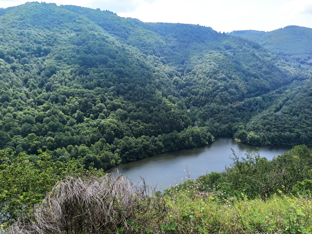
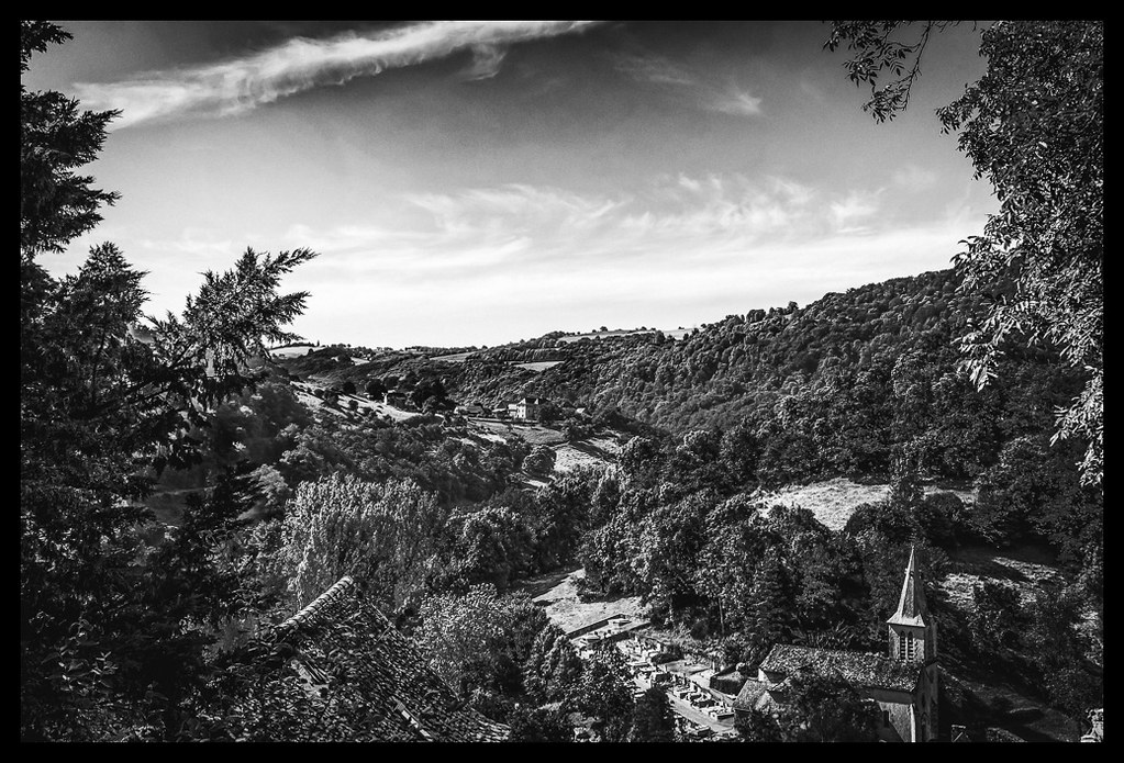
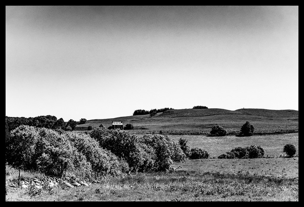
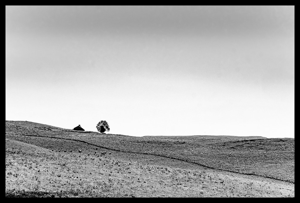
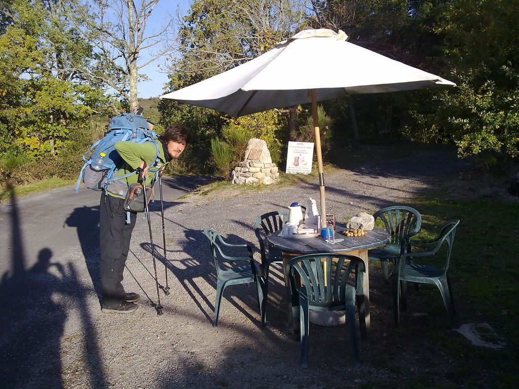
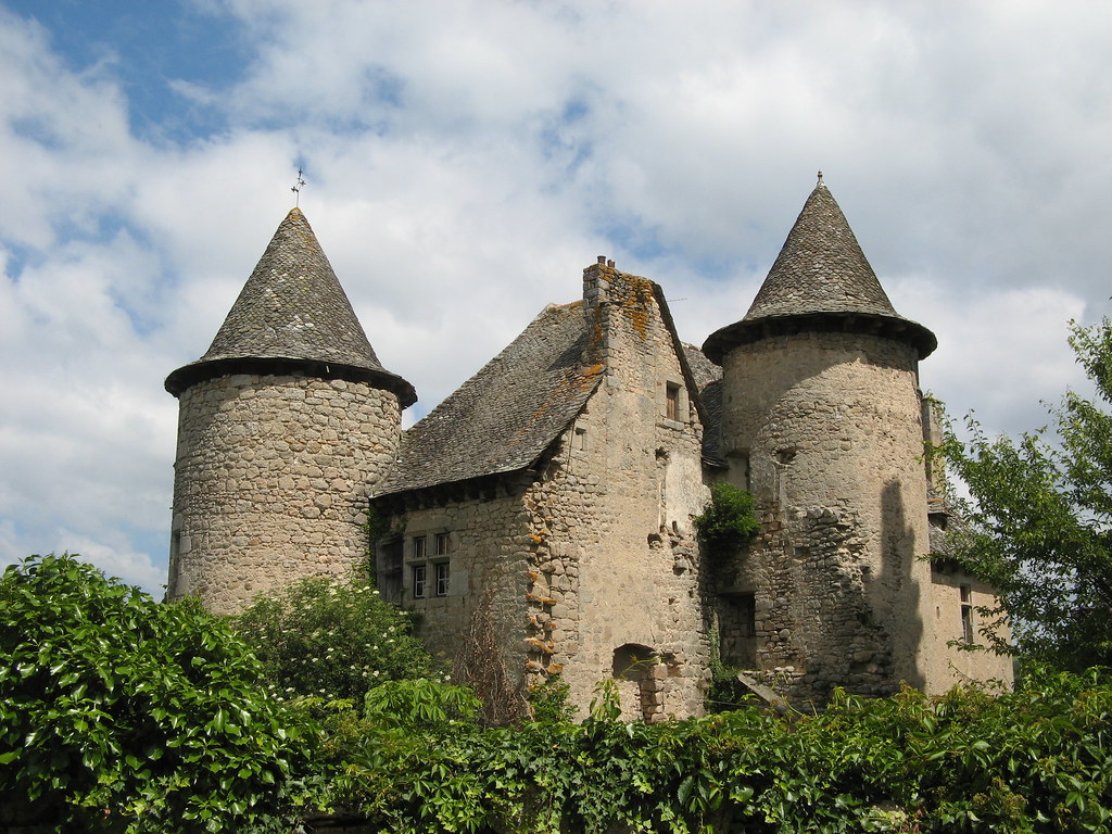
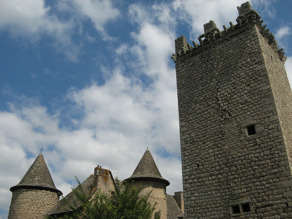
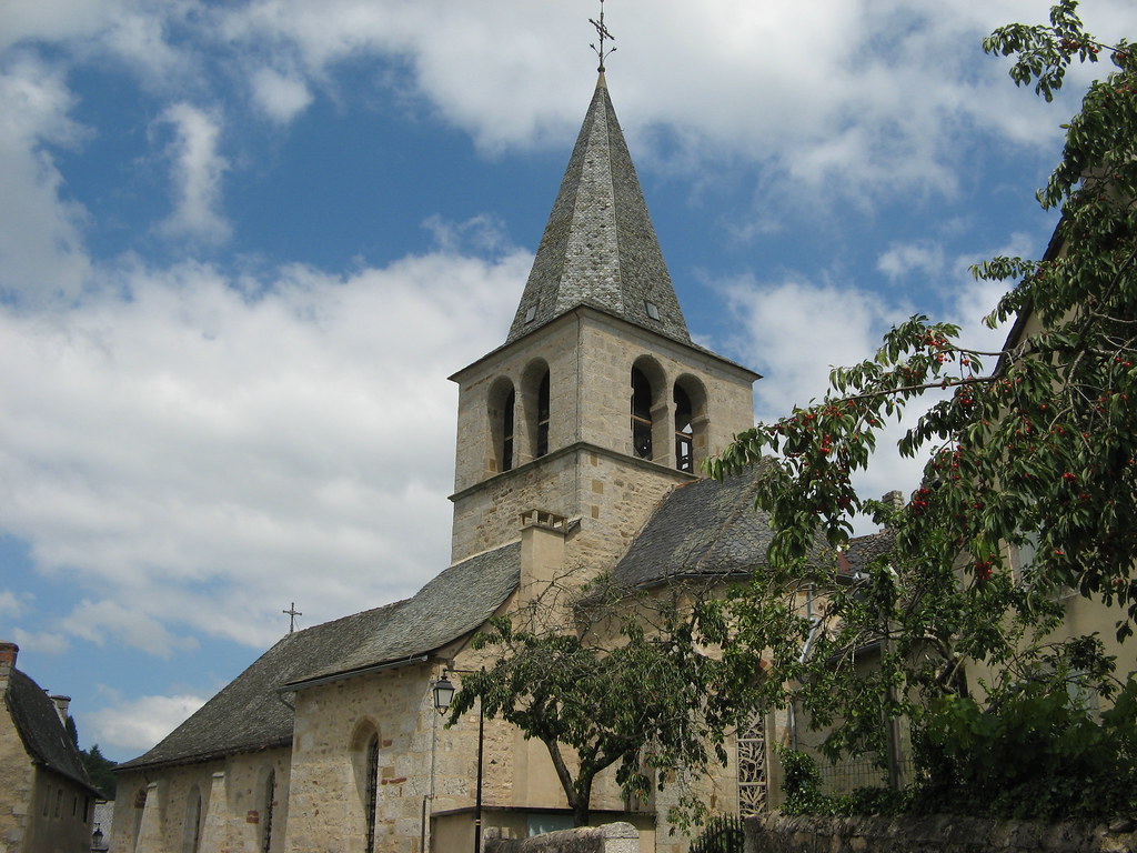
Photos Le Fel
|
See all photos of Le Fel :
Other photos of Le Fel and nearby towns can be found here: photos Le Fel
|
|
Le Fel weather forecast
Find next hours and 7 days weather forecast for Le Fel here : weather Le Fel (with english metrics)
This is the last weather forecast for Le Fel collected by the nearest observation station of Entraygues-sur-Truyère.
Week Forecast:
The latest weather data for Le Fel were collected Friday, 31 July 2026 at 08:01 from the nearest observation station of Entraygues-sur-Truyère.
| Friday, July 31st |
30°C 20°C
44%
51%
|
Thunderstorms
Temperature Max: 30°C Temperature Min: 20°C
Precipitation Probability: 44% (Rain)
Percentage of sky occluded by clouds: 51%
Wind speed: 7 km/h North-East
Humidity: 63%° UV Index: 7
Sunrise: 06:34 Sunset: 21:16 |
|
| | Saturday, August 1st |
30°C 16°C
0%
21%
|
Mostly clear
Temperature Max: 30°C Temperature Min: 16°C
Precipitation Probability: 0%
Percentage of sky occluded by clouds: 21%
Wind speed: 5 km/h East
Humidity: 57%° UV Index: 7
Sunrise: 06:35 Sunset: 21:15 |
|
| | Sunday, August 2nd |
33°C 17°C
27%
23%
|
Mostly clear
Temperature Max: 33°C Temperature Min: 17°C
Precipitation Probability: 27%
Percentage of sky occluded by clouds: 23%
Wind speed: 5 km/h North
Humidity: 43%° UV Index: 7
Sunrise: 06:37 Sunset: 21:14 |
|
| | Monday, August 3rd |
33°C 20°C
35%
35%
|
Thunderstorms
Temperature Max: 33°C Temperature Min: 20°C
Precipitation Probability: 35% (Rain)
Percentage of sky occluded by clouds: 35%
Wind speed: 12 km/h North
Humidity: 47%° UV Index: 8
Sunrise: 06:38 Sunset: 21:13 |
|
|
Attribution: 
|
|
Other maps, hotels and towns in france
Find another town, zip code, department, region, ...
Quick links Le Fel :
Make a link to this page of Le Fel with the following code :
|
|
|
 French Version : http://www.cartesfrance.fr/carte-france-ville/12093_Le Fel.html